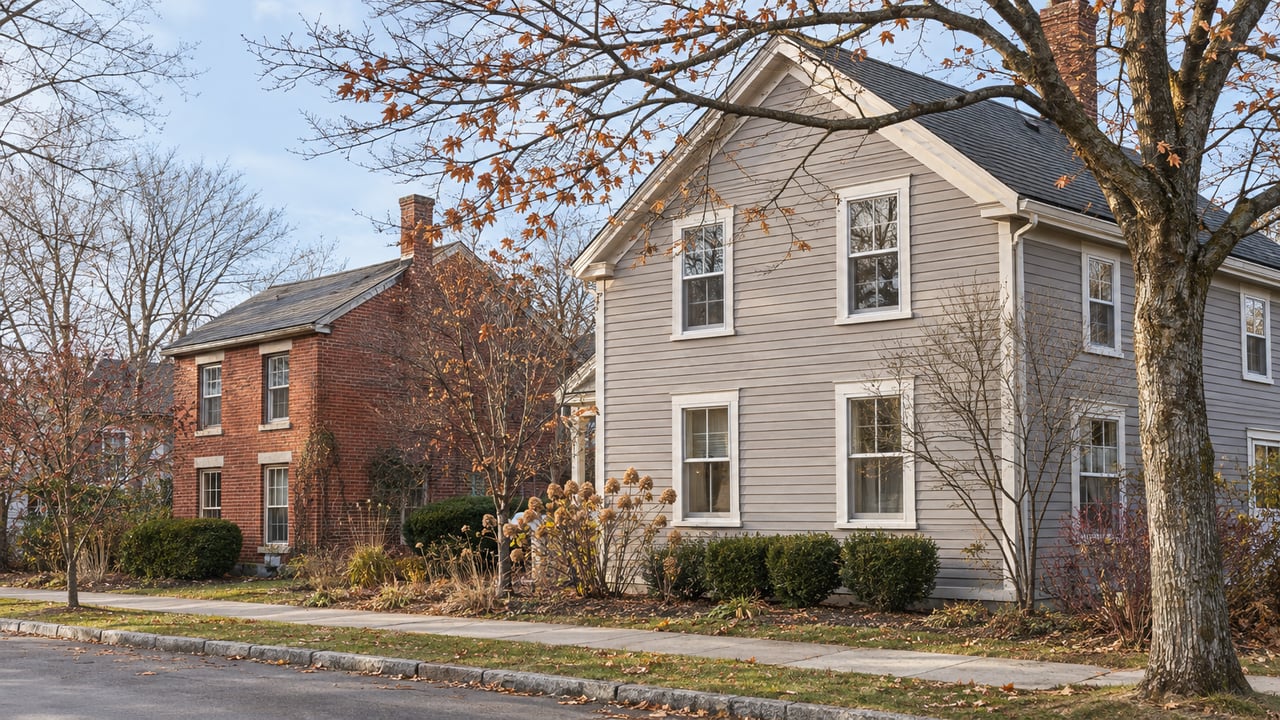
What the Champlain Parkway Changed on Burlington's South End Streets
November 19, 2026
November 19, 2026
If you're heading north on Pine Street at five o'clock and want to turn left onto Maple, you wait. The four-way stop that used to be at that corner is gone. A traffic signal replaced it, and there's no left-turn arrow and no turn lane. In August, WCAX reported City Councilor Melo Grant's description of drivers who need "one, two, three signals" to get through that turn at busy times of day.
Most coverage of the Champlain Parkway treats it as a road. If you're comparing streets in Burlington's South End, the more useful way to see it is as a set of choices about which streets carry traffic and which ones don't. The city has said what those choices are in writing. A few blocks behind Pine Street, the effect on an address can be very different from the effect on Pine itself.
The Parkway's connections to I-189 opened on Monday, June 29, 2026, one day ahead of the contract's completion date. The city's project FAQ dates substantial completion to July 15, 2026. The project was built in two pieces. The stretch from Home Avenue to Lakeside Avenue was built first, starting in June 2022, and Seven Days covered its opening in August 2024. The final contract started in December 2024. It covered the link from I-189 to Home Avenue and the work on Pine Street between Kilburn and Main.
The route goes up Pine Street, not over to Battery, for a reason that goes back to the 1980s. That's when contamination from old coal-gasification operations was found near the Pine Street Barge Canal. The site went onto the EPA's first Superfund list, and the plan to run the Parkway through it to Battery Street stopped. Studies afterward settled on Lakeside Avenue and Pine Street as the workable alignment, and that is the road built today. The city says future connections to Battery Street are moving forward separately.
The project's goal fits in one sentence. In its written response about the Pine and Maple signal, the city says a primary objective is "to reduce traffic on neighborhood streets by encouraging north-south travel to use Pine Street, Main Street, and Battery Street as the preferred corridor." The same document says Pine Street "now serves a more significant regional transportation function than it did previously."
Pine Street took on a bigger job, and the streets around it were set up to avoid one.
Plenty of people have asked the city for left-turn lanes at Maple, protected left-turn arrows, or a return to flashing signals. The city answered each request in writing.
On turn lanes, the city says most approaches have little room left. On-street parking, bike facilities, traffic calming and curb extensions already use the space a turn lane would need. The city also writes that left-turn lanes from Pine onto Maple "would be inconsistent with one of the project's central objectives," which is keeping through traffic on Pine, Main and Battery.
On protected left-turn arrows, the city says they would need new signal heads, a full engineering analysis and new funding. It calls them "not something that could be implemented in the short term," and says they would make turns into neighborhood streets more convenient, which again runs against the project's objective. It leaves room to revisit the idea if monitoring and traffic data justify the cost.
On flashing signals, the city's answer is that the intersection was designed for full signals, and a flashing red would weaken the protected pedestrian crossings. Going back to flashing "is not currently being considered."
A wait of one to three signal cycles at rush hour is the price of a quieter side street. If you live on Maple, King or the streets around them, the delay you sit through on the way home is the same mechanism that discourages strangers from cutting through your block. The city frames it as an adjustment period, with congestion at Pine and Maple expected to ease as drivers learn the new main route. Whether the trade works out depends on two things the city's data will eventually show: how much through traffic the side streets really lose, and how long the waits on Pine last once habits settle.
The South End addresses most directly affected sit on Pine itself. The new signals at King and Maple give north-south traffic on Pine the priority. The project FAQ also takes up a question about the King and Maple intersections handling 1,400 more vehicles a day because of the Parkway. The city's answer is that signals have more capacity than the old four-way stops, so the intersections should work better.
The city has also responded to driver behavior on the new road. Its project page lists interim steps already taken: retimed signals, a larger police presence between Home Avenue and I-189, and radar speed feedback signs. Neighbors are still asking for more. At the Ward 5 Neighborhood Planning Assembly on September 17, 2026, the agenda included a presentation asking for temporary traffic calming on southbound Pine near Locust Street and a longer-term plan. The presentation asked Public Works for a written decision by September 25. If you're looking at a house or a multifamily building facing Pine, ask what came of it.
Pine Street frontage also got the most walking improvements, and that counts in its favor. New continuous sidewalks run along Pine between Lakeside Avenue and Kilburn Street. Raised crosswalks now slow traffic at Howard Street, Marble Avenue and Kilburn Street. Between Howard and Marble there are new mid-block crossings with flashing beacons that pedestrians activate. Every new signal on the corridor has a WALK phase where all vehicle traffic stops. The final contract calls for bike lanes on Pine between Kilburn and Maple and for continuous sidewalks on the rest of Pine up to Main Street. That part of Pine is where Art Hop happens. In 2026, SEABA closed Pine Street between Kilburn and Howard for the festival's Friday evening in September.
So Pine Street now carries more cars and also has better infrastructure for people on foot. A buyer should look at both when weighing an address there.
Below Lakeside Avenue, the Parkway added things a South End resident uses every week. A new shared-use path runs north from the existing path at Home Avenue, along the east side of the Parkway to Lakeside Avenue. From there it follows Lakeside to Pine Street and continues along Pine to Kilburn. A second new path links Shelburne Street near the I-189 off-ramp to Pine Street near South Crest Drive.
A new road could have cut the neighborhood off from the lake. Signalized intersections at Home Avenue, Flynn Avenue, Sears Lane and Lakeside Avenue have crosswalks and a pedestrian phase you activate with a button. They keep the routes west to Oakledge Park, Red Rocks and Lake Champlain open on foot and by bike. If you live near those four crossings, your walk to the water now has a signal on it. A few blocks north, near King and Maple, the bigger change was the new lights on Pine.
Commuters headed out of town gained something too. In August, WCAX spoke with a South Hero commuter who estimated the route saved about 10 minutes by skipping Shelburne Road traffic. A Burlington driver said getting onto the highway had become much easier. For anyone at the south end of the corridor with a job off I-189, the Parkway now connects straight to the interstate.
On November 12, WCAX reported that drivers it interviewed hadn't noticed much difference in the five months since opening. One thought Shelburne Road might be a little lighter. The station said the city has been collecting traffic data since opening and plans to release the numbers in the coming months. The planning estimate is the only figure available for now. A 2019 pre-construction presentation put the I-189 off-ramp to Shelburne Road at roughly 40,000 vehicles a day and projected that the Parkway would take about 10,000 of those off. WCAX was clear that this was an estimate and that the actual effect on commuters isn't known yet.
In August, Public Works said it would bring data findings and recommendations to the City Council within six months, using signal data and public comments. That timeline points to early February 2027. Anyone who buys in the South End before the report comes out is choosing with the 2019 estimate and their own drive as the only numbers to go on.
In practice, the Parkway's reputation tells you less about a particular house than its block does. Drive the trip you'd make every day, at the hour you'd make it. Do the left onto Maple or King at rush hour. Walk from the front door to the Flynn Avenue crossing. Stand on the Pine Street sidewalk for ten minutes in the late afternoon.
Yes. The I-189 connections opened June 29, 2026, and the city dates substantial completion of the final contract to July 15, 2026. A connection to Battery Street is a separate future project.
The city's written position is that protected left-turn phases would need design work, equipment and funding, so they can't happen in the short term. It says they may be considered later if monitoring data supports them.
Yes. The signalized crossings at Home Avenue, Flynn Avenue, Sears Lane and Lakeside Avenue all have crosswalks and a pedestrian phase you trigger with a button.
The city runs a Champlain Parkway project site that collects updates and its responses to public comments, and it takes questions by email at [email protected].
If you're deciding between a house on Pine and one a few blocks over, or wondering what this corridor means for a duplex you already own, we'd love to dig into it with you. Infrastructure and land use are the parts of a property Kace Lagun likes to pick apart, and you can read more about him on his page. For more on the city, see our Burlington neighborhood guide. Then reach out to idENTITY real estate group and we'll walk your block's daily trip with you, rush-hour left turn and all.
Stay up to date on the latest real estate trends.
We combine local expertise, strong communication, and thoughtful strategy to create an experience centered around your goals. At idENTITY real estate group, you’re never just another transaction — you’re part of the community we care deeply about.
idENTITY real estate group
[email protected]
(802) 999-8410
68 RANDALL ST
SOUTH BURLINGTON, VT 05403